16 Mile View Map & Directions
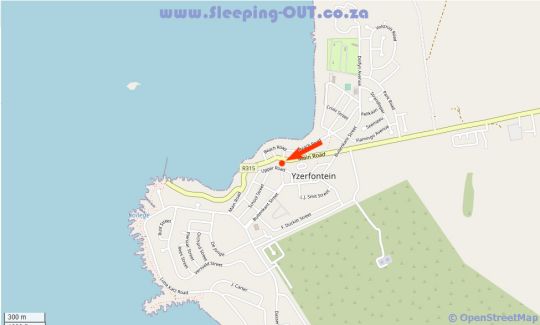
Address: 36 Upper Road, Yzerfontein , 7351


Directions
From Cape Town International Airport: - Head northeast on Freight Road toward Airport Ring Road and proceed 260 m; - Freight Rd turns slightly right and becomes Airport Ring Road, proceed for 1.5 km; - Turn left toward Airport Approach Road and proceed 180 m; - Continue straight onto Airport Approach Road for 2.1 km; - Merge onto Settlers Way/N2 and proceed 2.2 km; - Take exit 14 for the M7/Vanguard Drive toward Bonteheuwel and proceed 550 m; - Continue onto Epping Goodwood for 130 m; - Use any lane to turn right onto Jakes Gerwel Drive/M7 and proceed 1.8 km; - Turn left onto Gunners Circle and proceed 190 m; - Turn right to stay on Gunners Circle and proceed 1.5 km; - Turn right to stay on Gunners Circle and proceed 54 m; - Turn right onto Viking Way/M16 and proceed 190 m; - Take the exit toward the N7 and proceed 700 m; - Continue onto Exit 13 (signs for the N7/N1/Malmesbury) and proceed 300 m; - Merge onto Jakes Gerwel Drive/M7; - Continue to follow the M7 for 4.0 km; - Keep right to continue on the N7 for 17.6 km; - Take exit 31 toward Melkbosstrand Road/M19 and proceed 400 m; - Turn left onto Melkbosstrand Road/M19 and proceed 8.2 km; - Turn right onto West Coast Road/R27; - Continue to follow the R27 for 49.0 km; - Turn left onto the R315 and proceed 7.3 km; - Turn left onto Buitekant Street and proceed 100 m; - Turn right onto Upper Road and proceed 400 m; - Destination will be on the right at 16 Mile View, 36 Upper Road, Yzerfontein, 7531.